
A couple weeks into our trip, and about a month before arriving to Daniel Boone National Forest, we got an email saying that our reservation had been cancelled due to flooding. Spotty phone service in the southwest prevented us from seeing the email right away, and then from getting in touch with the park. Once we called, we were told there was a mixup and our site hadn't actually flooded (although there was severe flooding in the rest of the park), and we were welcome to rebook the reservation through them directly rather than through the online system. We gave them our info as someone on the other end scribbled it down quickly, and we crossed our fingers that we'd actually have a place to stay when we showed up later in the trip.
When we arrived at the campground last week, it was relatively deserted and thankfully not underwater, as we had feared. Not only that, but we were the only people camping in our loop except for the campground host, which was a first for us on this trip. So far, we've been camping in pretty popular parks during peak season, so the peace and quiet was a welcome change.
We spoke to a ranger after our first night there and got an explanation about the flooding. Cave Run Lake was created by the US Army Corps of Engineers as a flood control reservoir in the 1960's, protecting the valley below. When there are especially heavy rains, they trap excess water in the reservoir, and then slowly meter it out over the following days to prevent the rivers downstream from overflowing. Right before we arrived, the region had a couple months of extremely heavy rain. In order to protect the valley and houses below, they allowed the reservoir to rise 40 feet above its normal level, right to the edge of spilling over the dam, and the highest it's ever been. This resulted in extensive flooding of the campground, situated right on the lake. By the time we got there they had drained a lot of the water and cleaned up much of the damage, but we could still see signs of recent flooding. The lake was down to about 10ft over its normal height, and they were spilling water through the dam as quickly as they could.
We weathered a few more scattered thunderstorms in our tent on this leg of the trip. It feels like we've been driving under the same thundercloud since Bryce Canyon, way back in Utah. Matt thinks this is Mother Nature's way of preparing us for Seattle weather, and we are slowly getting used to it. In between rain showers, we explored the trails and wildlife in the northern part of the park and took a drive through several picturesque farming towns in the area.
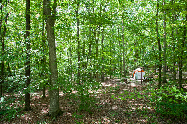
Our campsite in the trees - the best campsite separation we'd seen yet!

Box turtle

Tiny frogs at the nearby fish hatchery

Swallowtail butterfly

Remaining flood waters of Cave Run Lake
A few more photos from Kentucky are here.
No comments:
Post a Comment
Please log into your Google or Gmail account first before typing a comment, otherwise blogger will take you to a login page when you hit "publish" and your comments will be lost!