
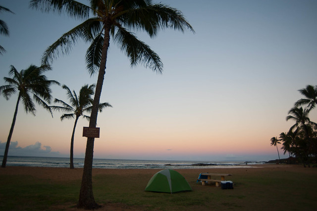
Our site at Salt Pond
The main feature of the south side of the island is Waimea canyon, a huge crevasse in the landscape that resembles a smaller Grand Canyon. It was formed over millions of years as the ancient volcano on the island slowly erodes. To get our bearings on the first day, we drove along the winding road that skirts the edge of the canyon, stopping at several viewpoints. The road follows Waimea Canyon, then eventually heads north into Koke'e State Park and dead-ends at the southern-most tip of the Na Pali Coast.
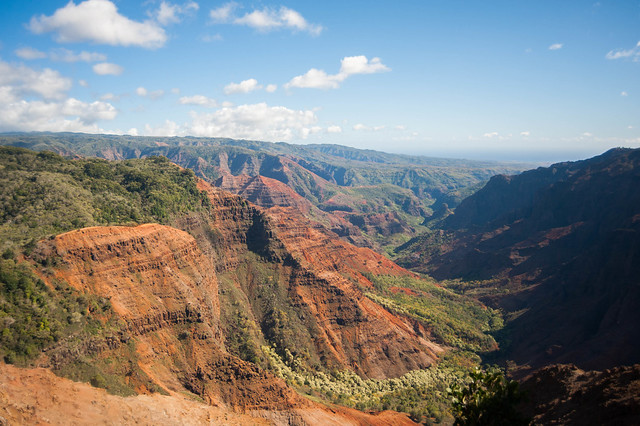
Standing in Waimea Canyon and looking south toward the ocean
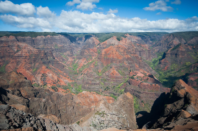
The color and striations of the rocks resemble the Grand Canyon
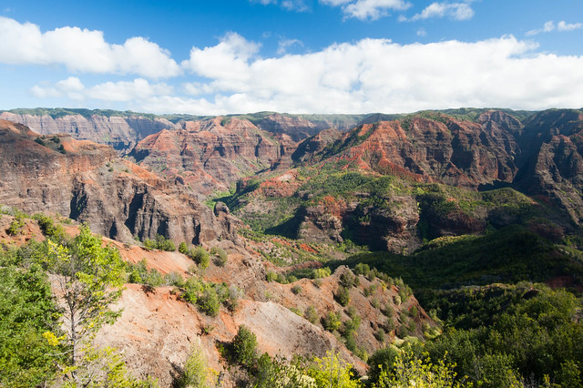
Another majestic view
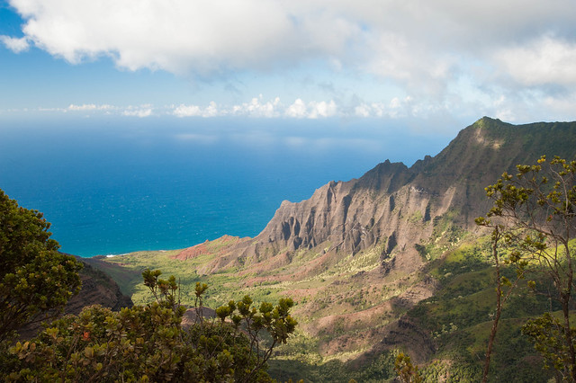
Our first glimpse of the Na Pali coast
On the second day, we picked several hikes in Waimea canyon and Koke'e State Park. Our first hike of the day in Waimea Canyon was the Kukui Trail. It was very steep but provided us with more stunning views of the canyon and lots of orange dust on our shoes. The second and third hikes were in Koke'e State Park, which was surprisingly more lush and tropical. Our trail book was massively inaccurate and the trail junctions were mostly unsigned, but we managed to make it back in one piece.
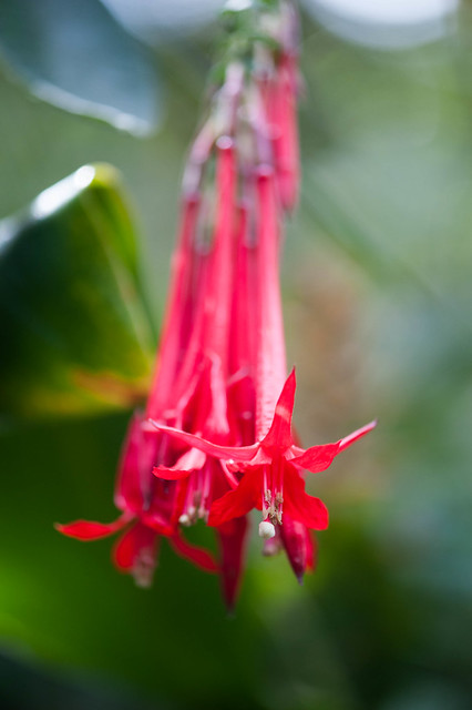
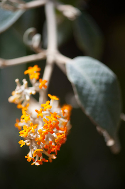
Our first hike in Koke'e was perhaps the most difficult to navigate. We started off on the wrong road, since the trail book neglected to mention there would be 4 different roads to choose from, instead of 3. After turning around, we managed to find the correct road, and we were treated to a variety of different tropical plants and flowers as we walked.
Our first hike in Koke'e was perhaps the most difficult to navigate. We started off on the wrong road, since the trail book neglected to mention there would be 4 different roads to choose from, instead of 3. After turning around, we managed to find the correct road, and we were treated to a variety of different tropical plants and flowers as we walked.
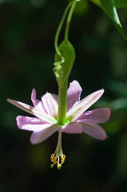
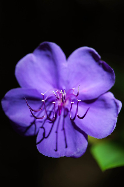
Flowers along what we think was Mohihi Road
Next we somehow managed to find Discovery Trail as it was called in the book, except the only trail sign we ever saw called it Water Tank trail. This trail climbed gently into a forest of trees all only about an inch or less in diameter and so thick you could hardly see a foot or two into the thicket. The only way we knew we were on the right path was because of a description of an Ohia tree that looks as if it is on stilts. Hard to miss that!
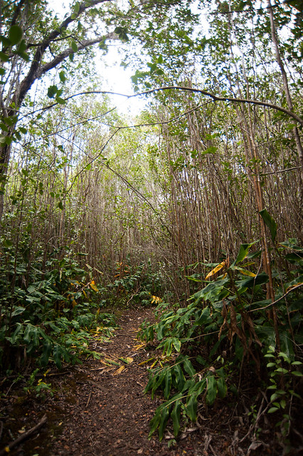
A forest of skinny trees
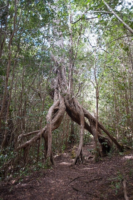
The Ohia tree on Discovery Trail or Water Tank Trail
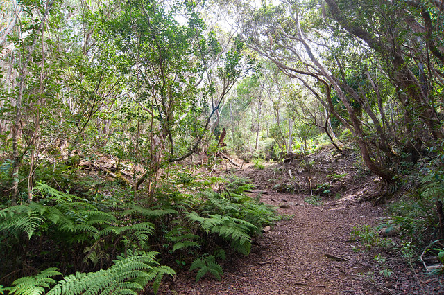
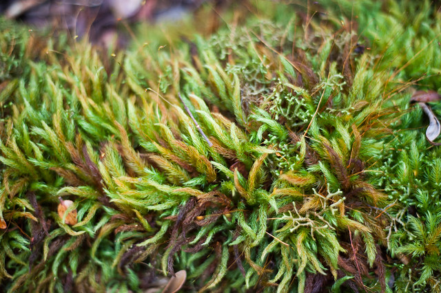
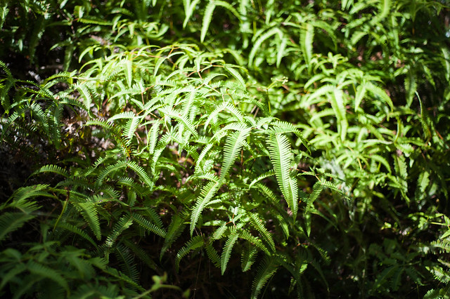
The second hike in Koke'e State Park was along Kaluapuhi trail, which was lush with ferns, mosses, and strawberry guavas. It was an easy out-and-back route and a nice way to see the upland forest in Koke'e.
On the way back from the hikes, we stopped at our new favorite fruit stand in Waimea for some shave ice. Matt quickly became a shave ice connoisseur while we were on the island.

Enjoying coconut shave ice
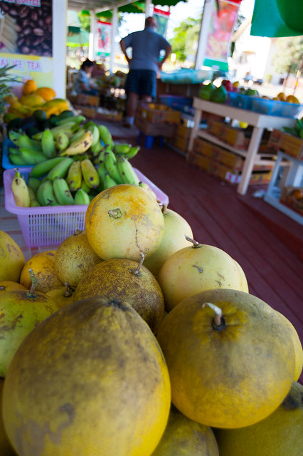
Lots of tropical fruits for sale
After only two nights at Salt Pond, we once again packed up our gear and headed back up north for our third and final camping destination in Haena beach. Click over to Part 3 for more!
No comments:
Post a Comment
Please log into your Google or Gmail account first before typing a comment, otherwise blogger will take you to a login page when you hit "publish" and your comments will be lost!